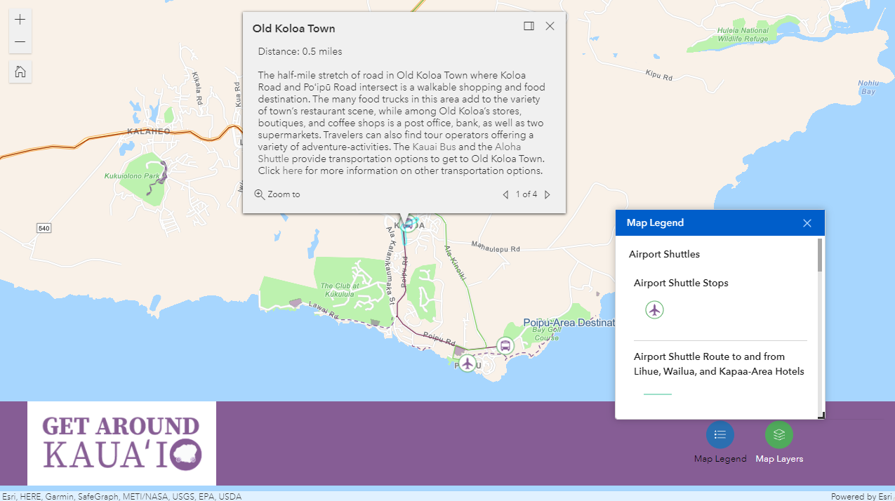
GetAroundKauai.com now features an interactive map that shows many of the modes of travel listed on the website. To assist you in your plans when traveling to Kauai and around the island, the map can be used to view airport shuttle routes, local area shuttle routes, as well as Kauai walking guides. When first accessing the map, an overview of route groups and walking guide areas will be shown relative to the entire island of Kauai.
Users can zoom into the map using a mouse wheel, their fingers (when accessing the map on a smartphone), or the embedded zoom controls , and see more details, including individual routes, route stops, and walking guide paths.
Selecting an individual shuttle stop will show the stop’s name, the routes that serve it, what shuttles travel along those routes, and links for reserving a shuttle of your choice.
Similarly, selecting an individual shuttle route will show the route’s name and what shuttles travel along that route:
To explore GetAroundKauai.com’s featured walking guides, users can select a place’s walking guide icon , a shaded walking guide area, or a walking guide path.
A map legend is available to view map features in a list format,
while a map layers tool allows you to show and hide individual map elements depending on what services or activities you are looking for.
The Get Around Kauai Map can be accessed on the Transportation Options page of our website.


